
Spring Valley Neighbor Sources
A block-level search begins with a mapped parcel, then adds one source at a time. Spring Valley is an unincorporated Clark County town, so the county’s GIS, Assessor, Recorder, elections office, and town advisory process are the relevant custodians. Each source establishes a different sort of connection. A parcel map establishes geometry. The tax roll identifies current ownership information. A directory can describe a historical address for a particular year. None of them creates a complete household roster.
| Source | What it shows about a block | Access |
|---|---|---|
| Clark County OpenWeb | Parcel shape, APN, owner, situs, zoning, flood, and district links | Free public map; click adjacent parcels |
| Clark County Assessor | Owner, mailing and situs addresses, legal description, sale, and structure fields | Free parcel search; ownership is not occupancy |
| Clark County Recorder | Recorded parties and instruments for an APN | Online summary; images or copies through Recorder |
| Voter-list channel | Permitted public registration fields by county or district | NRS 293.440; protected fields excluded |
| Permit and code search | Address or APN work, complaints, approvals, and documents | Public search; some plans remain office-only |
| Spring Valley TAB | Public issues, agendas, minutes, and appointed board names | Public meetings; not a member roster |
| HOA GIS layer | Mapped association or common-interest-community name | County layer; no public member directory found |
| Criss-cross directories | Historical occupants by address and street sequence | Library and archive holdings vary by year |
The difference between owner and occupant is essential. An owner’s mailing address can be a trust, family contact, agent, or address outside the area. A permit, court, or business filing can place a name at a site for a dated purpose without establishing present residence. Keep the source name and its date alongside every observation. Spring Valley, the Spring Valley TAB area, and a Spring Valley parcel are related geographic labels, not interchangeable proof of a residence.
Map Spring Valley Neighbor Parcels
Clark County OpenWeb supports an adjacent-parcel method rather than a one-click neighbor list. Start with the target APN, zoom to the street segment, and click polygons that share a boundary or sit directly across the road. The popup can show APN, owner, site address, jurisdiction, legal description, lot and block, sale date, zoning, and district links. Follow the Assessor link for the fuller parcel card, including co-owner, vesting, value, and building fields where available.
- Find the target address in OpenWeb and record the APN and subdivision before clicking away.
- Click four or more boundary-sharing parcels, then inspect parcels immediately across the road and any common-element parcel.
- For each parcel, keep a separate note for APN, situs, owner, mailing address, legal description, sale or recording date, zoning, and source URL.
- Use Recorder instrument numbers to see whether adjacent parcels were conveyed together, without assuming that means a shared household.
For a full named-street chain beyond the immediate Spring Valley neighbors, use the Spring Valley street directory. The block method stays focused on mapped adjacency instead of attempting a streetwide resident list.
Note: “Adjacent” means neighboring parcels on the county map, not a social relationship or a shared household.
Spring Valley Neighbor Condo Parcels
Condominiums require an extra check. The OpenWeb sample for a Borgata condominium shows that one street address can stand for multiple unit parcels and multiple owner rows. A building address is not one parcel and should not be treated as one named household. Use the unit, lot, legal description, and APN to distinguish the actual record. Common elements, roads, drainage parcels, schools, parks, and commercial tracts can appear beside a residence on the map without being neighbors in the everyday sense.
OpenWeb may abbreviate an owner or address line. Compare the map popup with the Assessor record before recording a result. The Assessor parcel number tree and subdivision-owner routes can also identify related APNs or common elements. This helps keep Spring Valley neighbors tied to the exact property record rather than a duplicated street address.
Spring Valley Neighbor TAB Layer
The Spring Valley Town Advisory Board is the public civic directory layer for this unincorporated community. It is not a townwide resident directory. The board’s page provides an area map, appointed-member information, public meeting materials, and a liaison contact. Its public meetings at Desert Breeze Community Center are subject to Nevada Open Meeting Law, NRS Chapter 241. Agendas and minutes can identify a development issue, public applicant, or speaker, but attendance does not establish a complete neighborhood list.
The Spring Valley TAB page supplies the county’s civic map and meeting information.
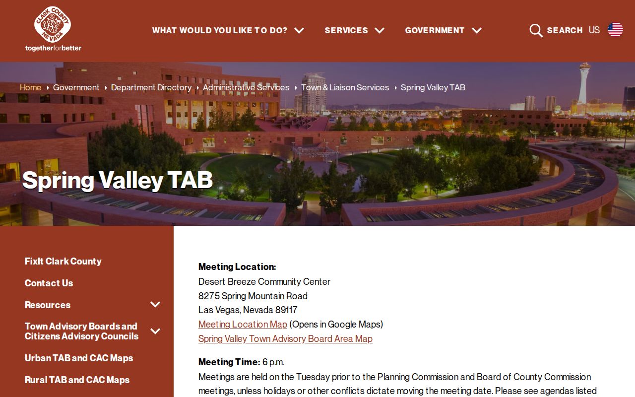
The county presentation is useful for placing a parcel in the Spring Valley civic setting. It does not substitute for a parcel record, association contact, or a documented public roster.
Spring Valley TAB
Public agendas, minutes, area map, appointed-member information, and liaison contact through Clark County.
Desert Breeze Community Center, 8275 Spring Mountain Road
Clark County OpenWeb
Mapped parcel context, jurisdiction, zoning, districts, and links to related county parcel records.
Use the target APN before comparing nearby polygons.
Spring Valley Neighbor HOA Layer
Clark County maintains an HOA and common-interest-community GIS layer. It maps association names, not the people who belong to them. Documented examples include Spring Oaks Village, Spring Terrace, Springfield Property Owners, Springpointe Condominiums, and Springs Ranch. Query the layer by parcel or subdivision before connecting an association name to a block, because a familiar-sounding name does not prove the association covers a given address.
The Clark County HOA GIS layer lists the mapped community layer that supports this Spring Valley neighbors check.
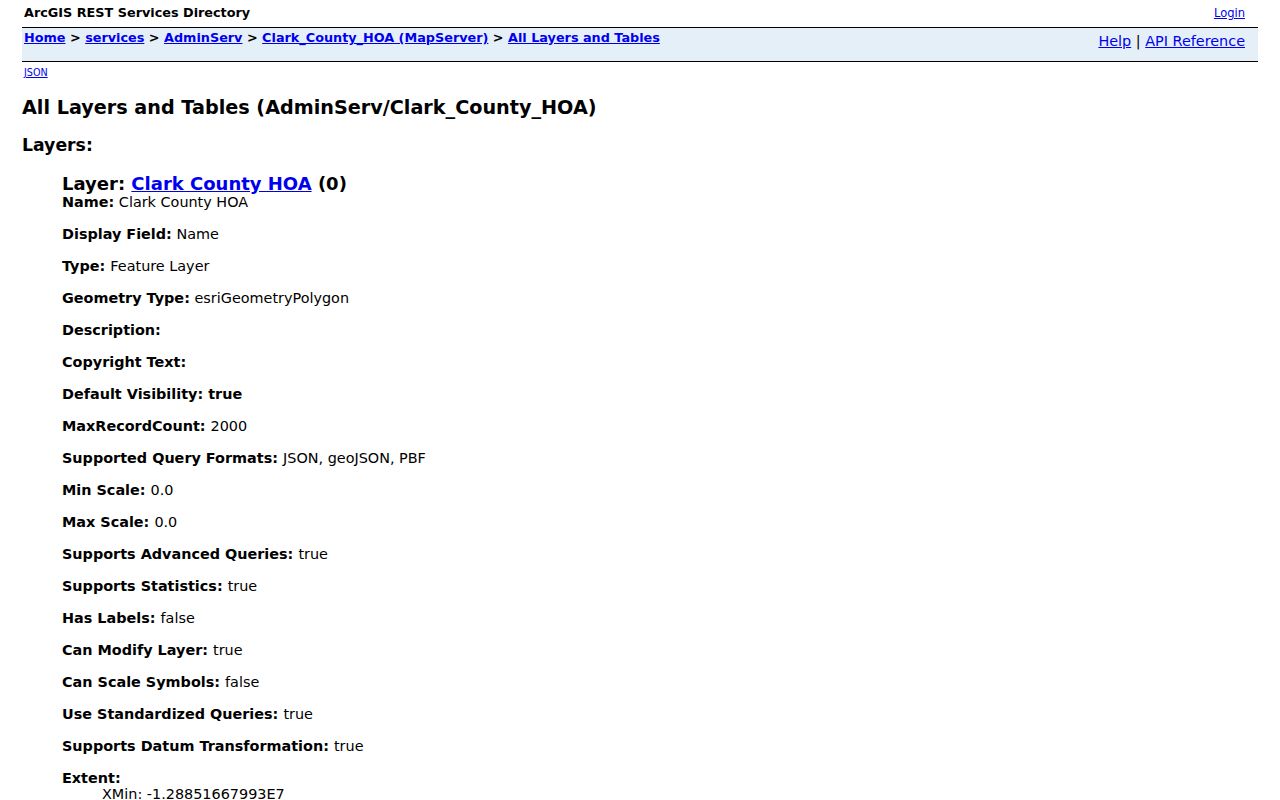
Association materials commonly direct readers to board or management contacts and recorded declarations. The research did not find an official member directory. Treat the polygon as association coverage, not membership proof or a list of nearby people.
Spring Valley Neighbor Voter Limits
NRS 293.440 permits a county, precinct, or district registered-voter list for one cent per name, subject to protections in NRS 293.558 and related rules. Potential public fields can include name, address, date of birth, telephone number, application serial, and update date. Social Security numbers, driver-license or ID numbers, election-process email, Confidential Address Program information, and protected registration information are not public. An individual may request address and telephone withholding.
Clark County’s public data channel groups files by county or district with Active and All status options. The personal voter service is login-gated, so it is not a tool for building a neighbor list. A public list is registration evidence subject to law, not a complete account of who is at every Spring Valley address.
Note: A voter record can support a documented registration fact, but it cannot establish every household member or current presence.
Spring Valley Neighbor Tool Comparison
Official and commercial tools answer different questions. Official records identify the custodian, field meaning, and access limit. Commercial neighbor tools can join old public records, marketing material, and inferred links, but they may have stale dates, unclear sources, and same-name errors. For Spring Valley neighbors, the official trail is more useful because it makes a reader distinguish parcel ownership, mapped proximity, registration evidence, and a historical directory entry.
| Source category | Strength | Limit to remember |
|---|---|---|
| Official parcel and GIS records | Named custodian, APN, geometry, and record date | Owner information is not proof of occupancy |
| Official voter and court channels | Defined statute or court scope | Protected fields and sealed records remain unavailable |
| Library and historic directories | Dated address or community reference | Only supports the printed year and coverage area |
| Commercial neighbor tools | May provide leads for further checking | Can contain inferred, stale, or merged information |
Use a possible match only to identify a custodian record worth checking. Do not publish a compiled block list or turn one address field into a claim about a person’s present life.
Spring Valley Neighbor Privacy Limits
Several types of information are not a public block directory: household members, guests, children, utility customers, delivery recipients, protected voters, sealed case information, and DMV personal records. Nevada’s Confidential Address Program gives qualifying participants a substitute address for government use and does not make their actual address available for reverse searching. Recorder confidentiality can also follow a court order or statutory program. Respect a missing field rather than trying to reconstruct it from unrelated records.
Lawful use. Spring Valley neighbor research is for personal, civic, family-history, and safety purposes. Never use a record to stalk, harass, threaten, or intimidate anyone.
When a county record appears wrong, take the issue to its custodian. Assessor questions go to Clark County Assessor Customer Service, Recorder indexing questions to the Recorder, and voter corrections to Elections. Do not email sensitive identity material until the office confirms the correct submission route.
Spring Valley Neighbor Evidence
A careful evidence ladder prevents overstatement. Map geometry establishes that parcels are nearby. The Assessor identifies a current tax-roll owner and two address fields. The Recorder shows recorded-party and document history. A permit records an application or work event. A voter list, when lawful and available, shows registration information. A directory or newspaper establishes a dated historical reference. Each source has a different time frame and purpose.
For an older block, the Luskey criss-cross editions for 1956, 1957, 1959, 1966, and 1967 can place an address in a printed street sequence, while the UNLV 1969 regional-history directory is another dated point. Those materials may use Las Vegas, a tract name, or an earlier street format rather than the present Spring Valley label. Pairing a directory year with a parcel or map keeps an old address reference in its correct period.
If an address is missing, normalize abbreviations such as Street and St, preserve directional prefixes, and include unit numbers. Then try the Assessor address form, copy the APN exactly, check the legal description, and inspect an adjacent parcel or old plat. A county request can ask for an existing address-indexed report, but it cannot require staff to create a new blockwide list.